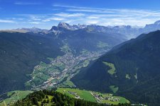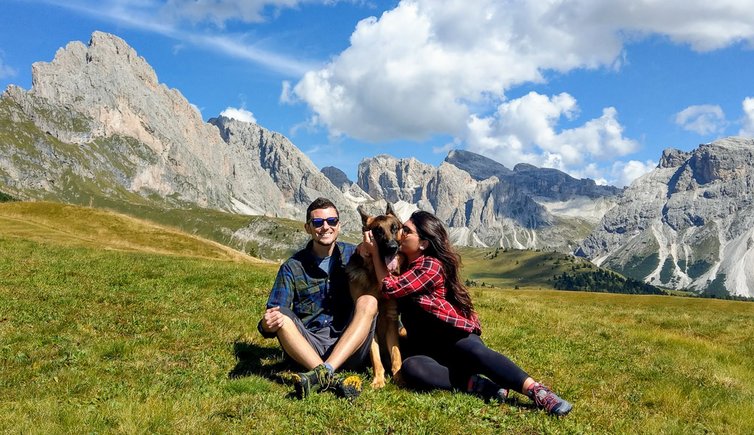
This hike is not difficult, but it requires some physical condition and offers unforgettable impressions between Ortisei and the alpine pastures of the Seceda. The wonderful panoramic view on the Dolomite landscape of the Val Gardena is included
Image gallery: From Ortisei to the Baita Curona at the Seceda
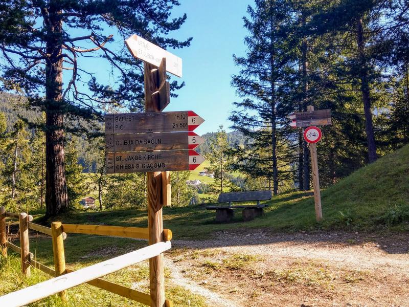
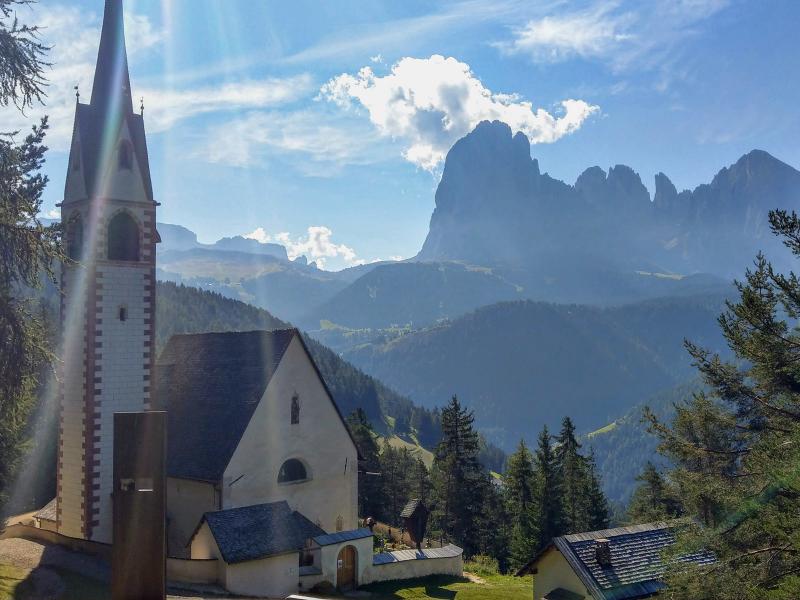
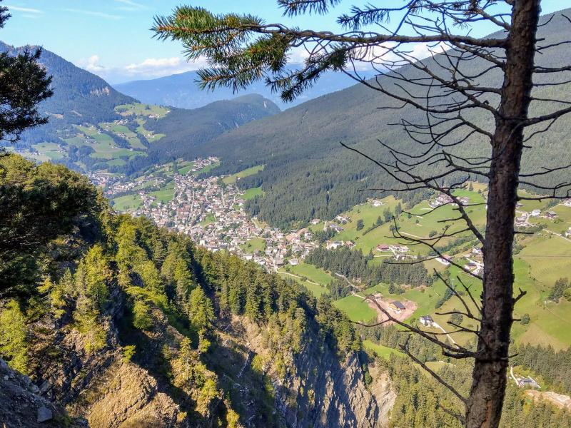
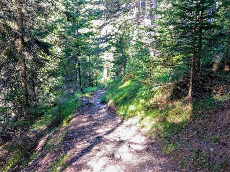
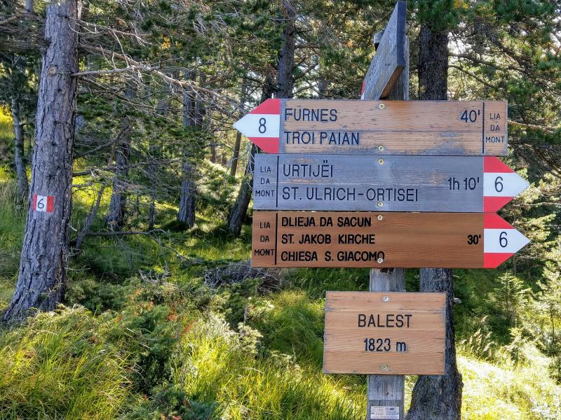
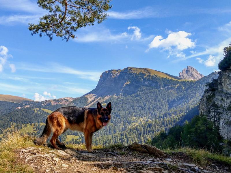
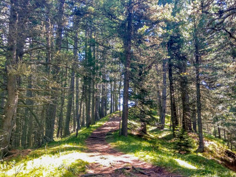
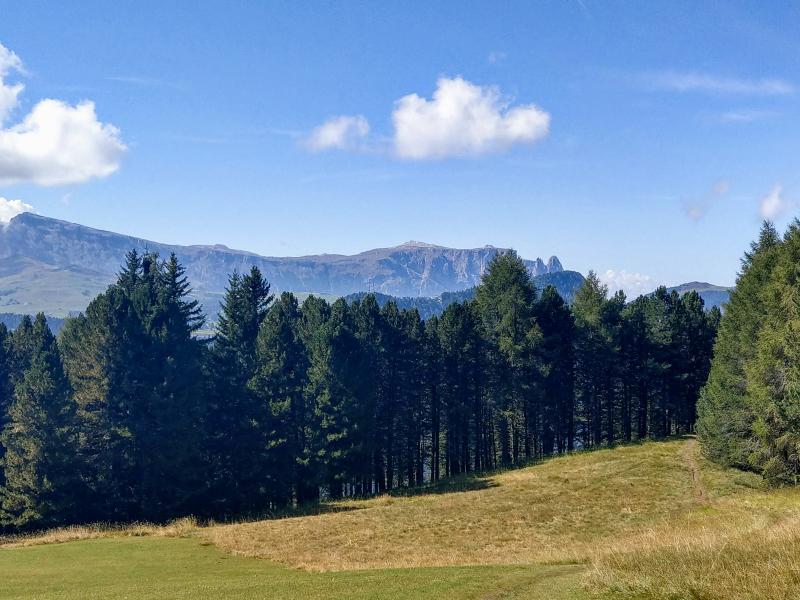
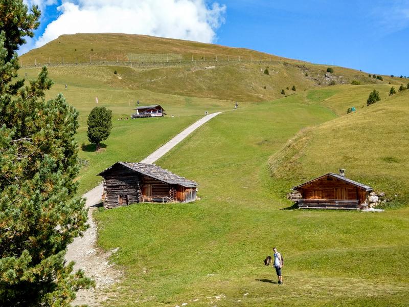
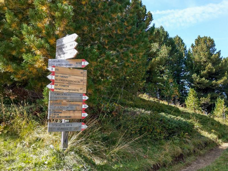
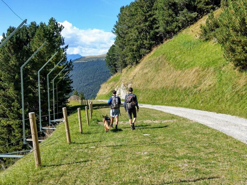
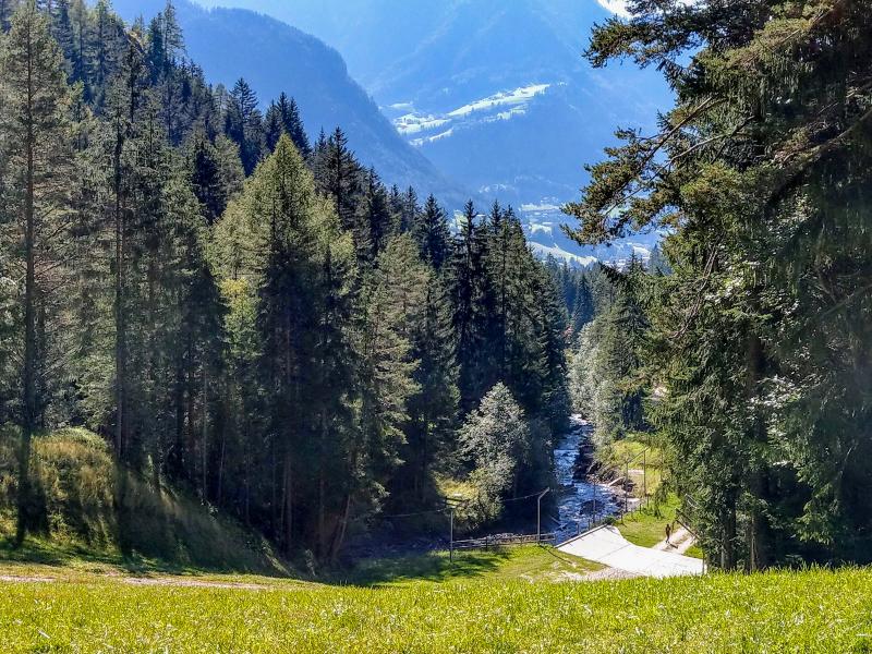
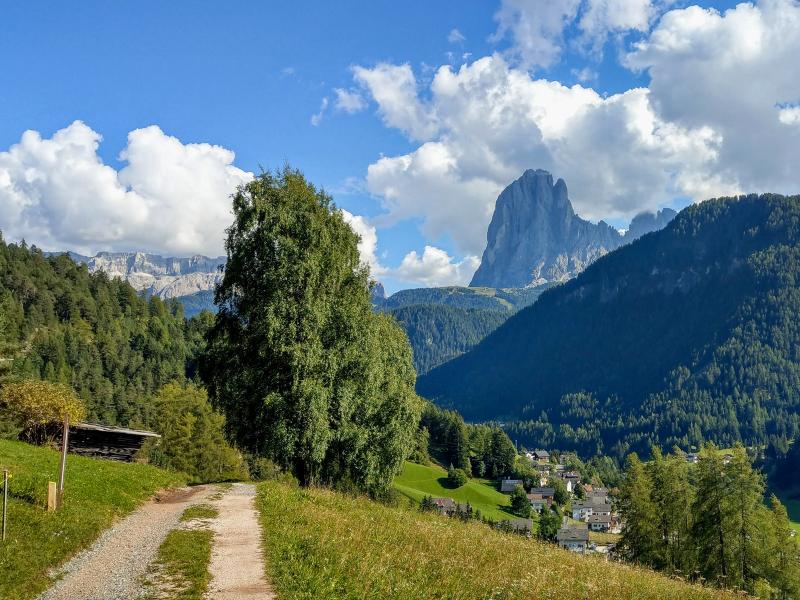
We leave our car in the village of Col de Flam, more precisely along the road, which leads from Ortisei up to S. Giacomo, and start our hike on the steep path no. 6 towards 'dlieja da Sacun', how the picturesque little S. Giacomo Church is called. The church is usually open in the morning in summer and is worth a visit. If the church is closed, we recommend a rest with a unique panoramic view on the mighty Mt. Sassolungo.
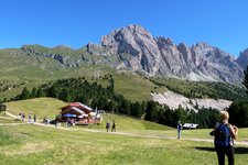
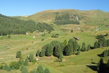
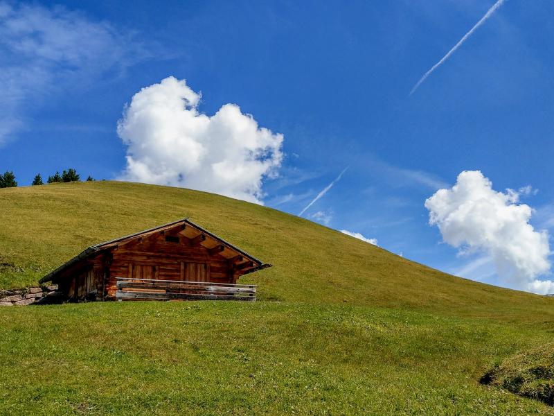
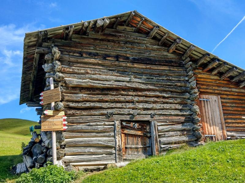
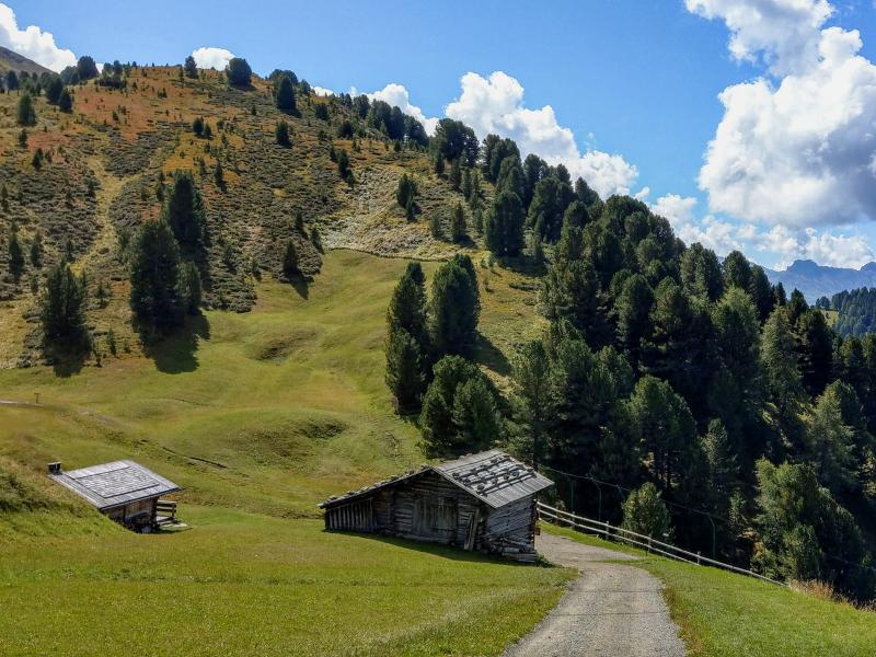
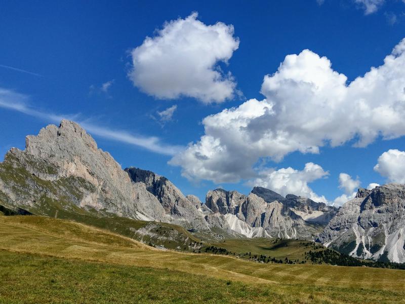
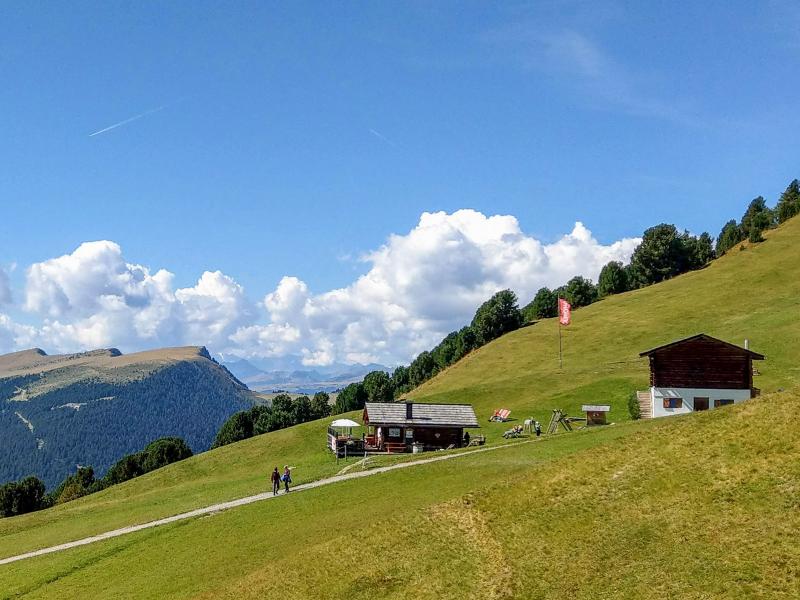
From here we follow first path no. 6 to the viewpoint 'Balest' and then path no. 6A, which proceeds uphill towards the Seceda. After the timberline, our destination is not far anymore: the Curona Mountain Hut. It is situated amidst green alpine pastures at almost 2,200 m a.s.l. and offers a fantastic view on the Dolomites as well as a welcome place to stop for a bite to eat. The Odle and the Puez Groups, the 2,555 m high peak of the Stevia, the impressive Sella Group, Sassolungo and Sciliar can be seen from here.
After our break we walk on the ski slope Seceda-Furnes, called 'La Longia' (the long one, because of its length of more than 10 km), down into the valley. Path no. 2 finally leads us into the Val d’Anna valley. At the Pauli Farm, at the edge of Ortisei, a last uphill section on path no. 6 'Col de Flam' has to be mastered before we reach our starting point again.
Please note: the tickets of the Seceda cable car must be booked in advance via a booking system on the official website of the Seceda cable car.
Author: Giacomo Roccabruna
Experienced: September 2018
Last update: 2026
-
- Starting point:
- Ortisei, Col de Flam parking space along the Sacun Road towards S. Giacomo
-
- Overall time:
- 05:30 h
-
- Total route length:
- 11,5 km
-
- Altitude:
- from 1.312 m to 2.182 m
-
- Altitude difference (uphill | downhill):
- +1023 m | -1023 m
-
- Signposts:
- No. 6, 6A, 2, 6
-
- Destination:
- Curona hut
-
- Resting points:
- Curona hut
-
- Recommended time of year:
- Jan Feb Mar Apr May Jun Jul Aug Sep Oct Nov Dec
-
- Download GPX track:
- From Ortisei to the Baita Curona at the Seceda
If you want to undertake this hike, we recommend checking the weather and trail conditions in advance and on site before starting this hike!