The round tour takes across the beautiful Crespëina High Plateau in the Puez-Odle Nature Park
Image gallery: Hike across the Vallunga valley to the Cir Peaks

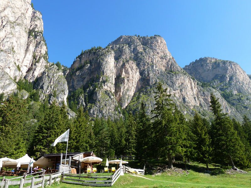
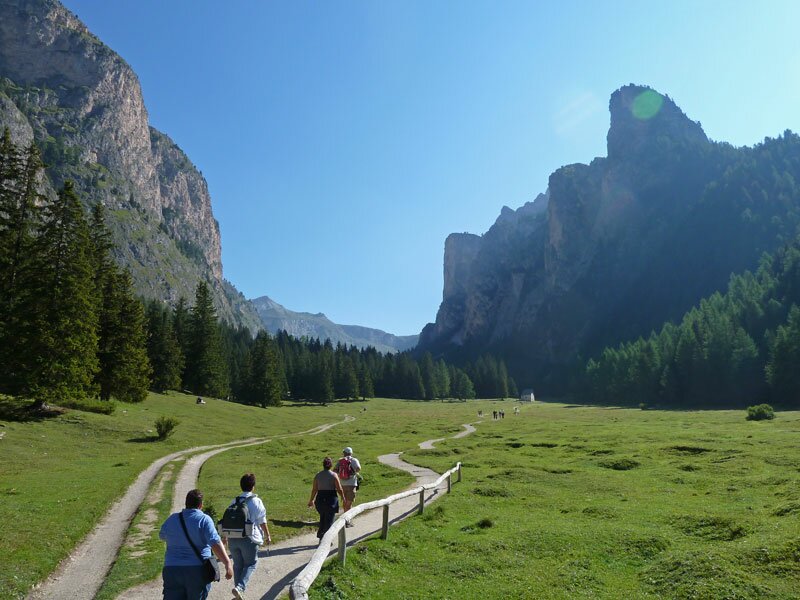
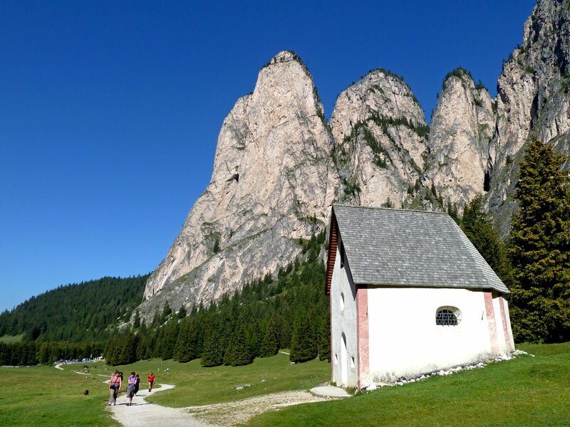
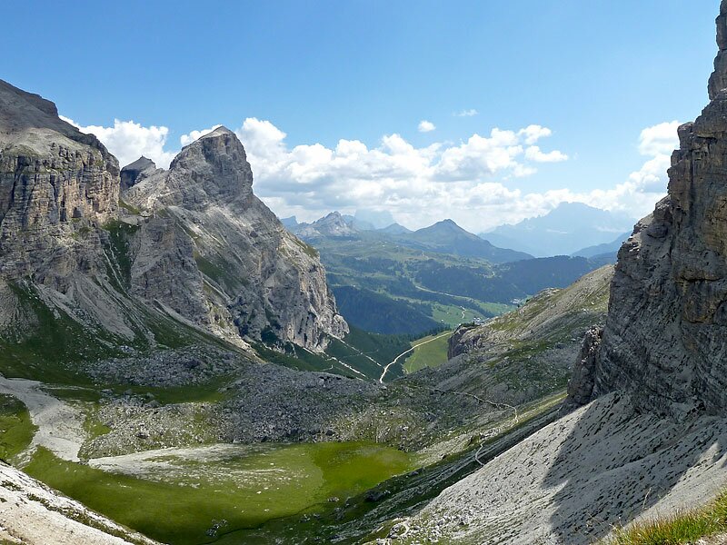
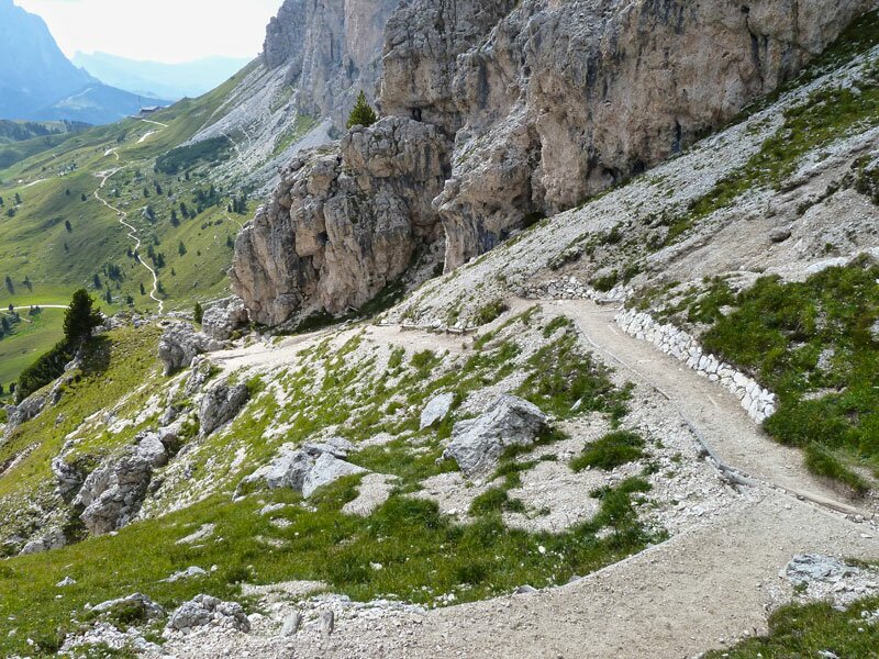

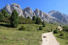
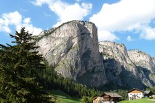
The parking space (subject to charge) at the entrance of the Vallunga valley near Selva Gardena is starting point for our alpine tour. The first section takes us across the fantastic Vallunga, on a pleasant hiking trail with a great view on the Stevia rockface and the Puez Group on the left, as well as the Chedul Mountains and Mt Col Turon on the right side of the valley. No we hike to the Puez alpine hut and from there we reach the Forcella de Ciampei.
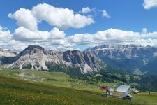
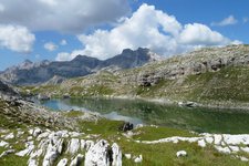
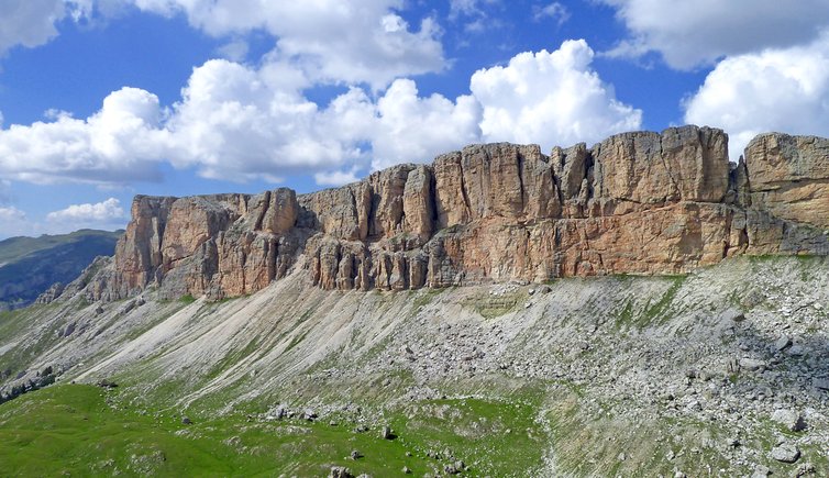
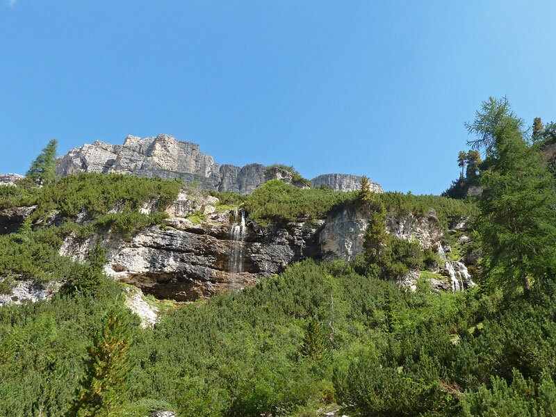
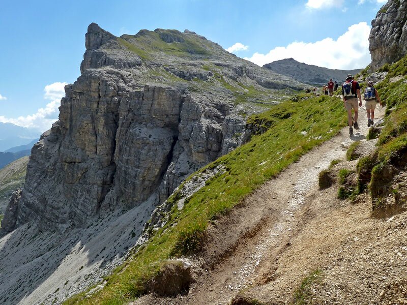
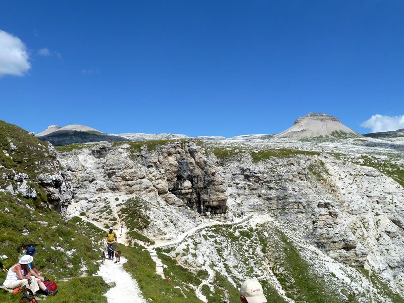
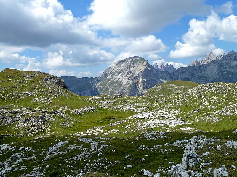
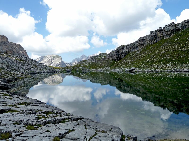
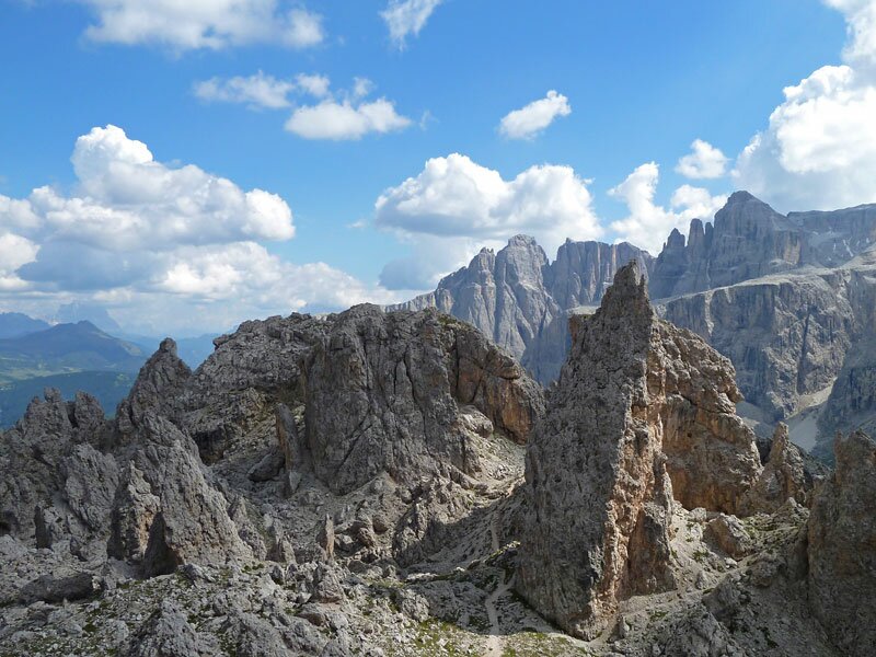
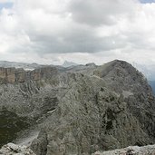
Once reached this ridge we have overcome more than half of the way. Now we continue across the Crespëina High Plateau and walk towards the Crespëina saddle on the trail n° 2. We walk by the fantastic Lake Crespëina (2,374 m a.s.l.), then again the way up to the cross at the highest point. Here we enjoy an overwhelming view on the Cir Peaks and the Mont de Seura, in the middle the light green Chedul valley stretches. A breathtaking scenery!
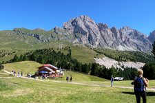
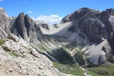
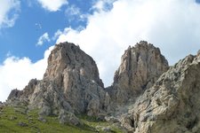
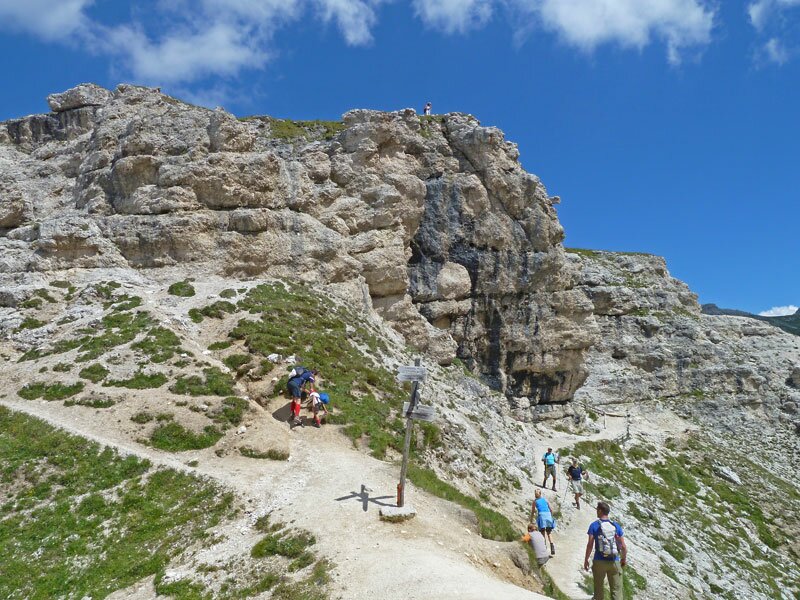
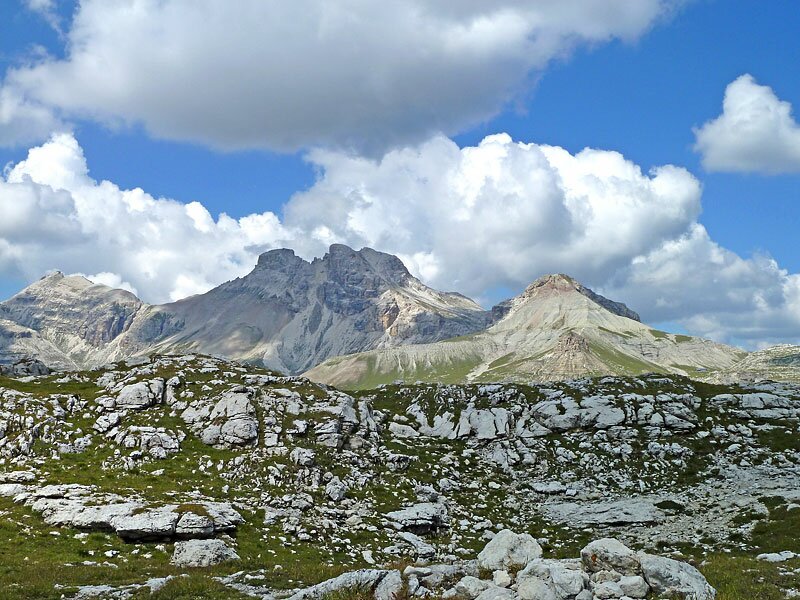
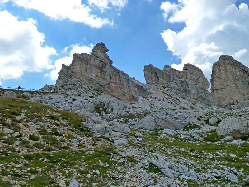
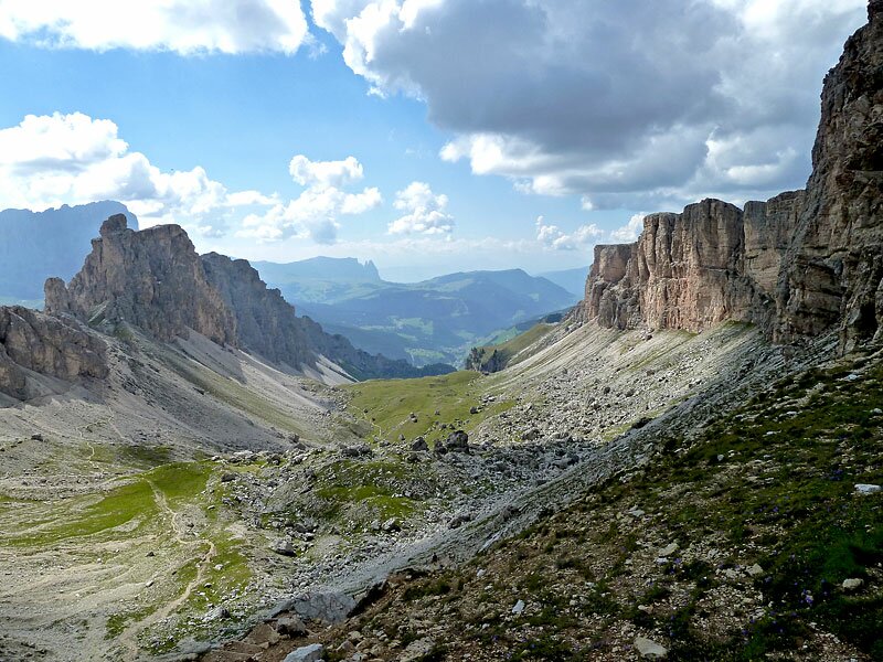
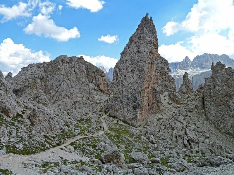
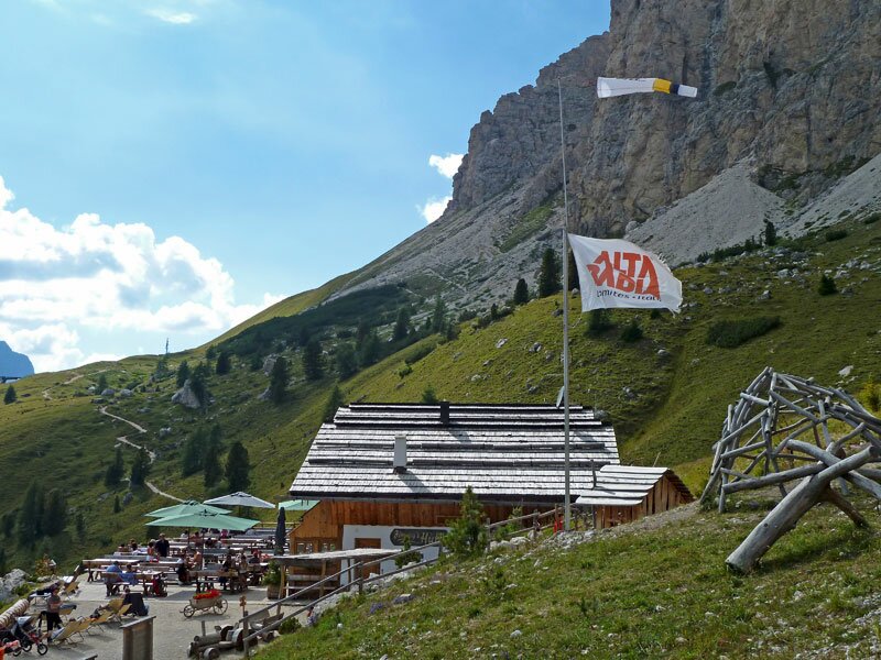
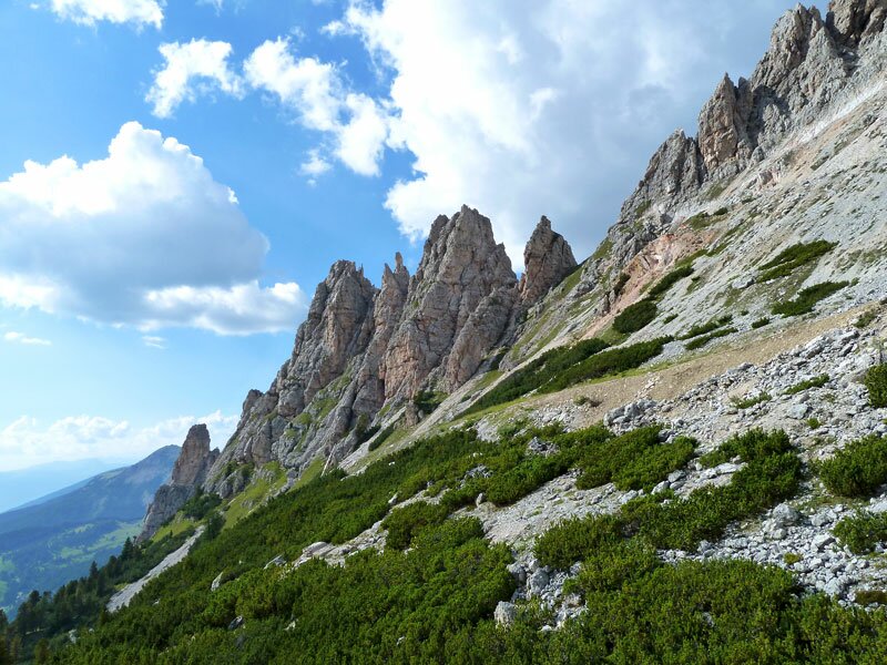
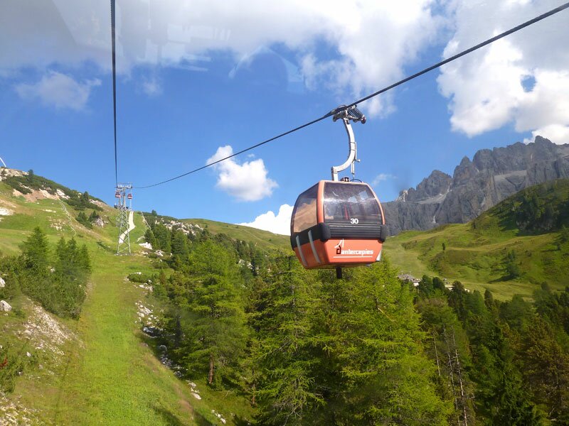
On the trail underneath Passo Cir we continue our walk, from here we can see the Cir Peaks, which are pinnacles of Dolomite stone rising into the sky like fabulous creatures. Across this legendary landscape we walk towards Passo Gardena, strictly speaking to the Jimmy mountain hut (2,220 m). From this hut we walk up to the Dantercepies funicular, which takes us down to Selva Gardena. From the lower terminus, we walk the last metres to the entrance of the Vallunga, our starting point. The impressions in the high-alpine mountain landscape of the Puez-Odle Nature Park are amazing in this tour, even if it is quite exhausting.
Author: AT
-
- Starting point:
- Selva Gardena, parking space at the entrance of the Vallunga
-
- Overall time:
- 05:45 h
-
- Total route length:
- 15,6 km
-
- Altitude:
- from 1.603 m to 2.529 m
-
- Altitude difference:
- +1206 m | -533 m
-
- Route:
- Vallelunga - Puez Hut - Forcella de Ciampei - Crespëina High Plateau - Passo Crespëina - Lake Crespëina - Passo Cir - Jimmy mountain hut at Passo Gardena - Dantercepies mountain station
-
- Signposts:
- 14, 2, 12A
-
- Resting points:
- Puez Hut, Jimmy Hut
-
- Recommended time of year:
- Jan Feb Mar Apr May Jun Jul Aug Sep Oct Nov Dec
-
- Download GPX track:
- Hike across the Vallunga valley to the Cir Peaks
If you want to do this hike, we suggest you to check the weather and trail conditions in advance and on site before setting out.