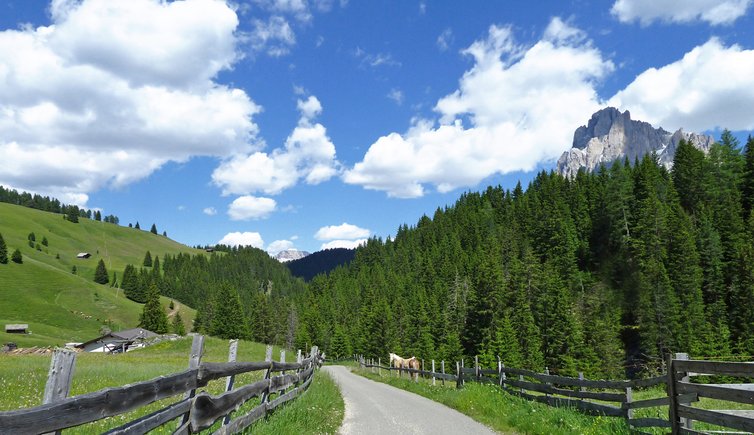
This hike takes you from the village of Ortisei to Alpe di Siusi, through the beautiful Jender valley
Image gallery: Hike through the Jender valley to Saltria
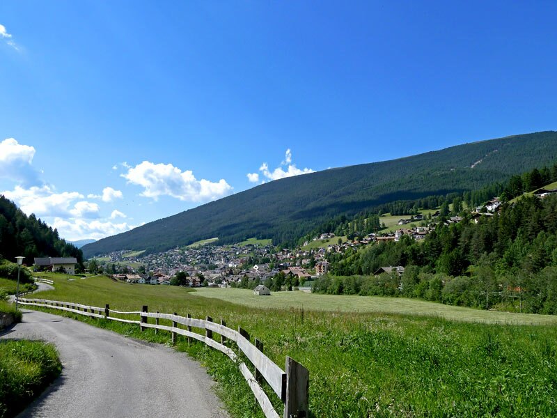
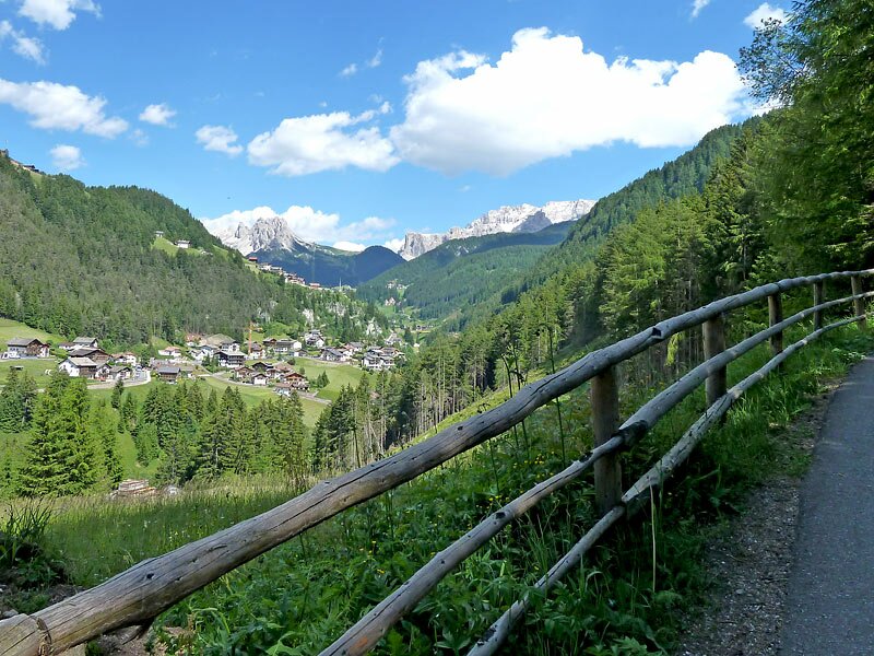
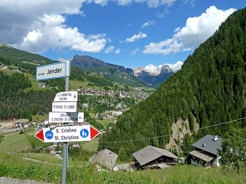
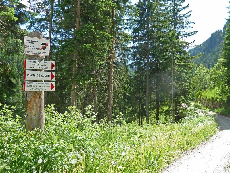
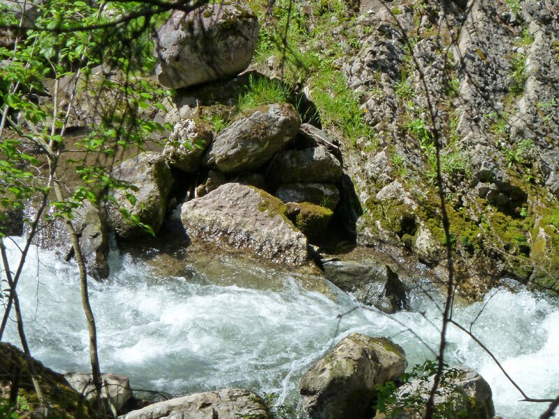
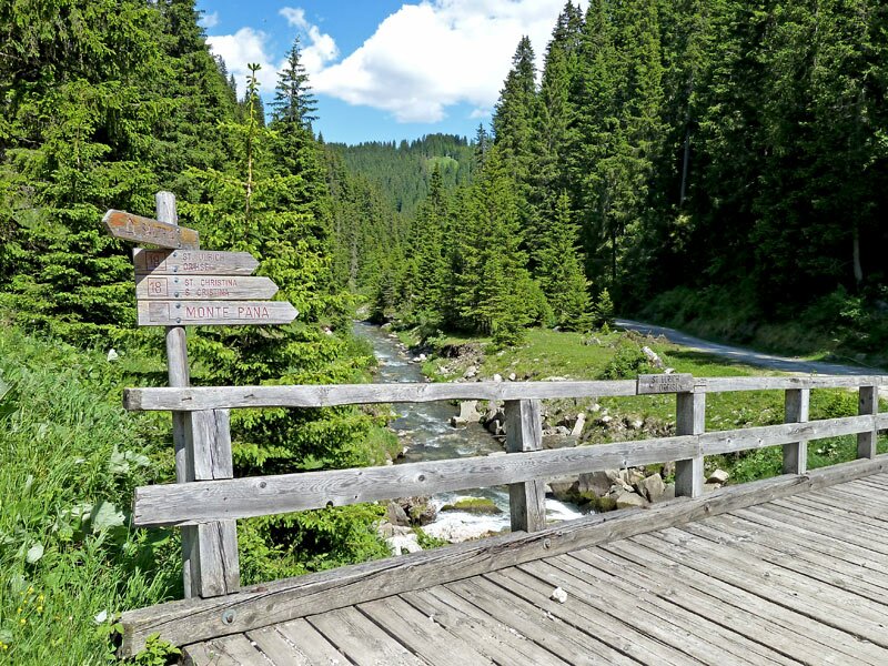
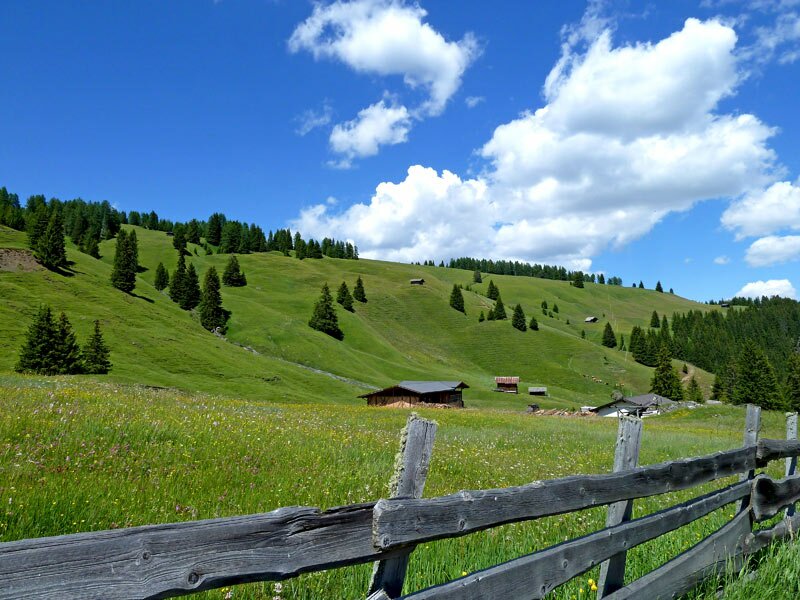
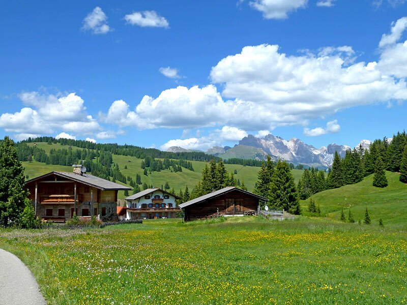
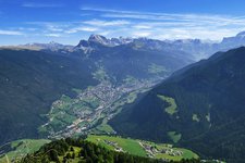
Starting our hiking tour in Ortisei, we follow the promenade along the Rio Gardena (n° 18). On an asphalted road we slowly gain height until we reach the Jender farms. The Jender valley is a side valley to the Val Gardena, the Rio Jender drains a big part of the area of Alpe di Siusi.
After a 90 degrees bend we continue our hike towards south, up the valley. At an asphalted parking space the trail continues on a forest road. After 1 km we cross the brook over a bridge and stay on the same trail, which finally leads us to Saltria on the Alpe di Siusi.
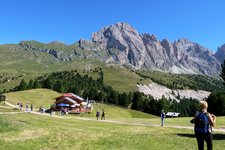
Before we arrive at Saltria, a very small locality of some hotels and alpine huts, the forest gives way to lush green Alpine pastures, typical for Alpe di Siusi. From here, you can take the Florian lift to the higher areas of the alp or reach Compaccio (by foot or bus).
Please note: if you don't want to hike the same way back, you can follow trail n° 9 to the mountain station of the cable car which leads you to Ortisei (approx. 4 km by foot).
Author: AT
Experienced: June 2010
Last update: 2026
-
- Starting point:
- Oltretorrente, Ortisei (alternatively, you can start in Santa Cristina and follow trail n° 8)
-
- Overall time:
- 05:00 h
-
- Total route length:
- 16,8 km
-
- Altitude:
- from 1.215 m to 1.675 m
-
- Altitude difference (uphill | downhill):
- +565 m | -565 m
-
- Route:
- Oltretorrente - Valley Path - Jender valley - Saltria
-
- Signposts:
- 18
-
- Recommended time of year:
- Jan Feb Mar Apr May Jun Jul Aug Sep Oct Nov Dec
-
- Download GPX track:
- Hike through the Jender valley to Saltria
If you want to undertake this hike, we recommend checking the weather and trail conditions in advance and on site before starting this hike!