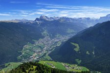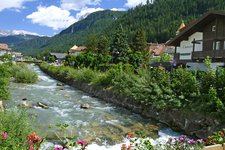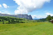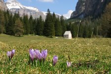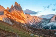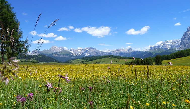
From the mountain station of the Ortisei cable car we hike to the Molignon hut on the largest Alpine pasture in all of Europe
Image gallery: Hike across Alpe di Siusi
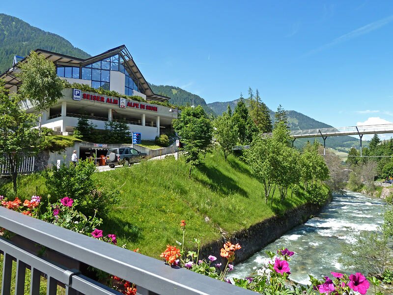
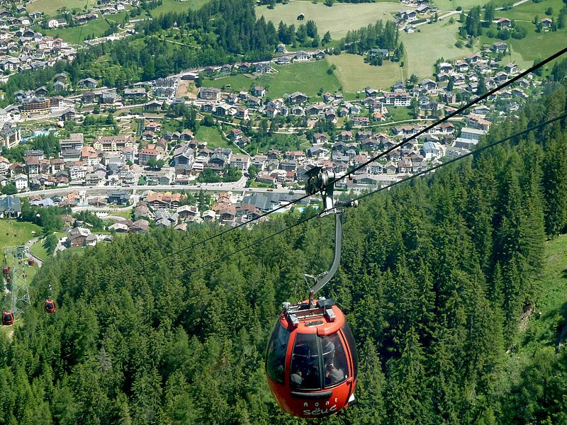
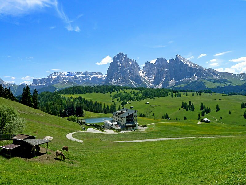
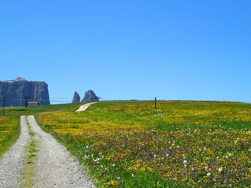
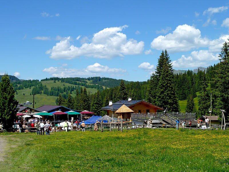
With the Mont Sëuc Cable Car, which leads from Oltretorrente near Ortisei to Mt Piz, the high plateau of Alpe di Siusi is reachable from Val Gardena in just a few minutes. From the mountain station of the cable car, we follow the stony trail n° 6A to the Rif. Contrin mountain hut, from which it leads down to the partly asphalted trail n° 6, passing the Hotel Icaro.
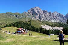
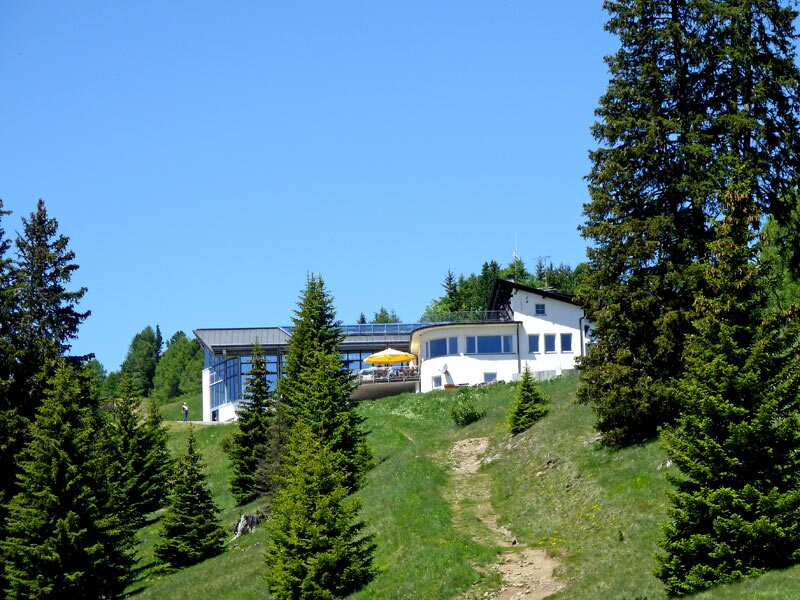
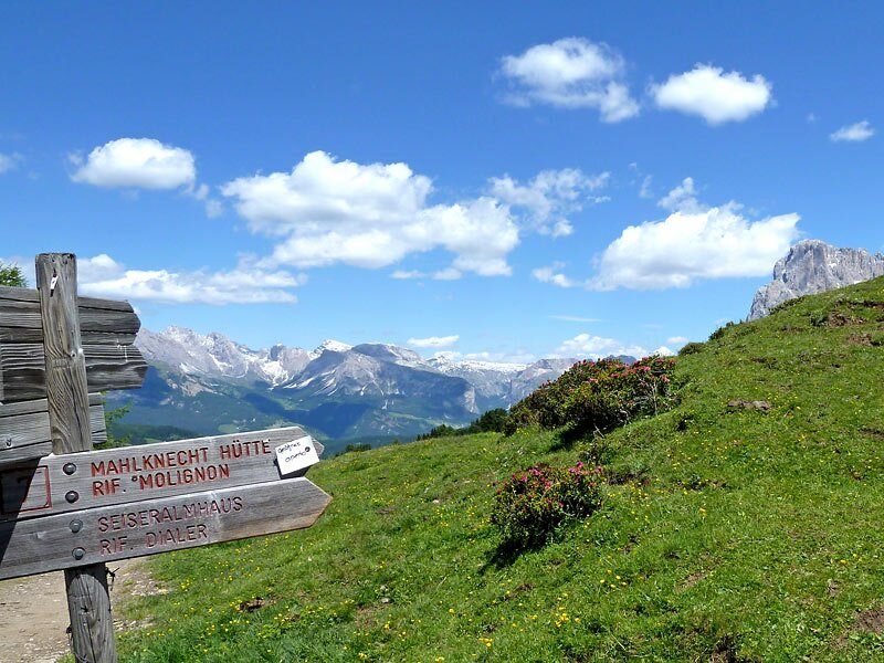
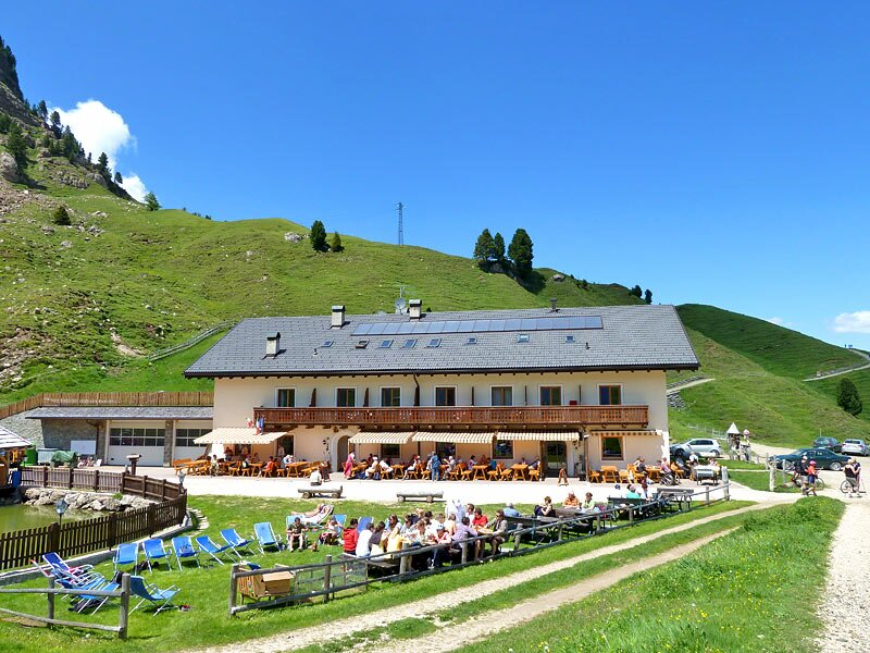
After crossing the road leading from Compaccio to Saltria, we stay on trail n° 6 until we see the Hotel Panorama. Before the hotel, we branch off left to take trail n° 7 in the direction of Punta d'Oro - Molignon. We hike up and down across a beautiful landscape of Alpine roses until we reach the Rif. Molignon mountain hut (2,054 m a.s.l.) at the foot of the Horse Teeth Mountains.
Following trail n° 8A steeply upwards we reach the Rio Dialer and take trail n° 8 towards the Rif. Tirler mountain hut. Finally we arrive in Saltria (1,675 m). From here, on trail n° 9 we hike back to the mountain station of the cable car (2,000 m), which brings us back to Ortisei. Altogether, this is quite a long (17 km) and exhausting tour, on which you get to know the different beautiful landscapes of Alpe di Siusi!
Author: AT
Experienced: June 2011
Last update: 2026
-
- Starting point:
- Mont Sëuc mountain station
-
- Overall time:
- 05:20 h
-
- Total route length:
- 17,7 km
-
- Altitude:
- from 1.675 m to 2.081 m
-
- Altitude difference (uphill | downhill):
- +651 m | -651 m
-
- Route:
- Mont Sëuc mountain station - Contrin mountain hut - Hotel Icaro - Hotel Panorama - Molignon mountain hut - Tirler mountain hut - Saltria - Mont Sëuc mountain station
-
- Signposts:
- 6A, 6, 7, 8, 9
-
- Recommended time of year:
- Jan Feb Mar Apr May Jun Jul Aug Sep Oct Nov Dec
-
- Download GPX track:
- Hike across Alpe di Siusi
If you want to undertake this hike, we recommend checking the weather and trail conditions in advance and on site before starting this hike!