This 14 km winter hike leads from Monte Pana near Santa Cristina to the snow-covered Alpe di Siusi
Image gallery: Winter hike from the Monte Pana to Saltria
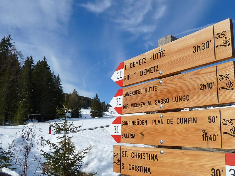
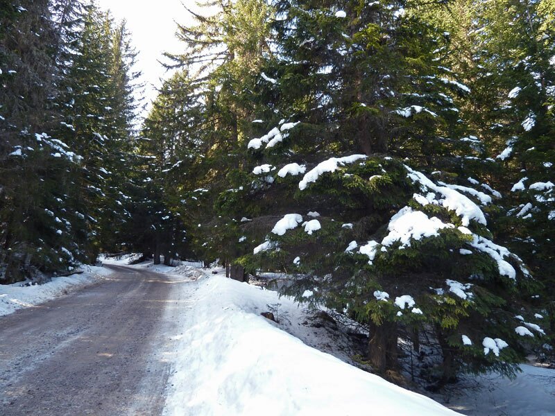
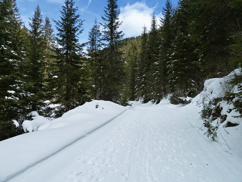
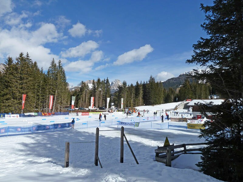
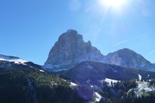
The Monte Pana High Plateau near Santa Cristina is well-known in winter for its cross-country skiing centre. However, it also connects Santa Cristina with the Alpe di Siusi. If you prefer not to drive up, you can take the chairlift from Santa Cristina. The hike then begins by following path number 30 in the shadow of the mighty Sassolungo. The gravel road is largely free of snow.
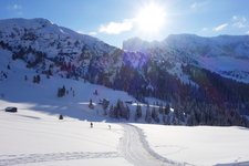
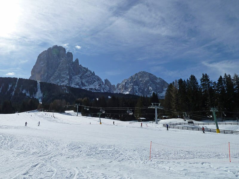
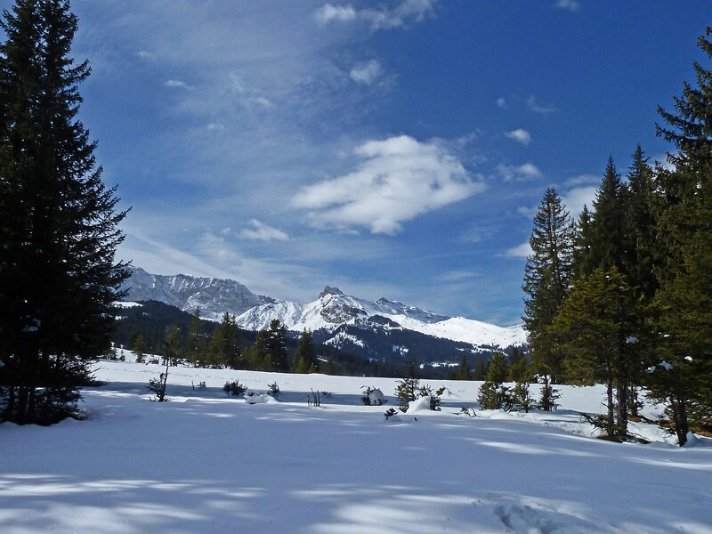
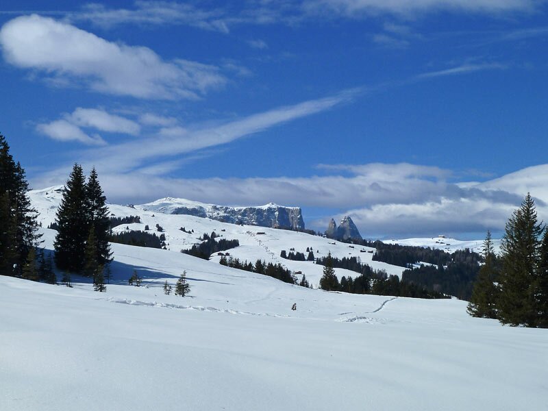
The route is surrounded by an enchanting winter landscape, passing through the Confinböden forest and crossing a few cross-country ski trails. After a good hour's walk, the forest suddenly opens up, revealing a view of the snow-covered Alpe di Siusi. The distinctive Sasso Piatto, the Molignon, the Denti di Terrarossa, and the Sciliar form the backdrop behind vast snowfields.
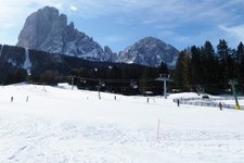
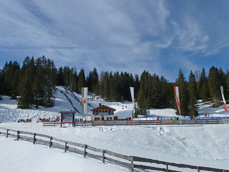
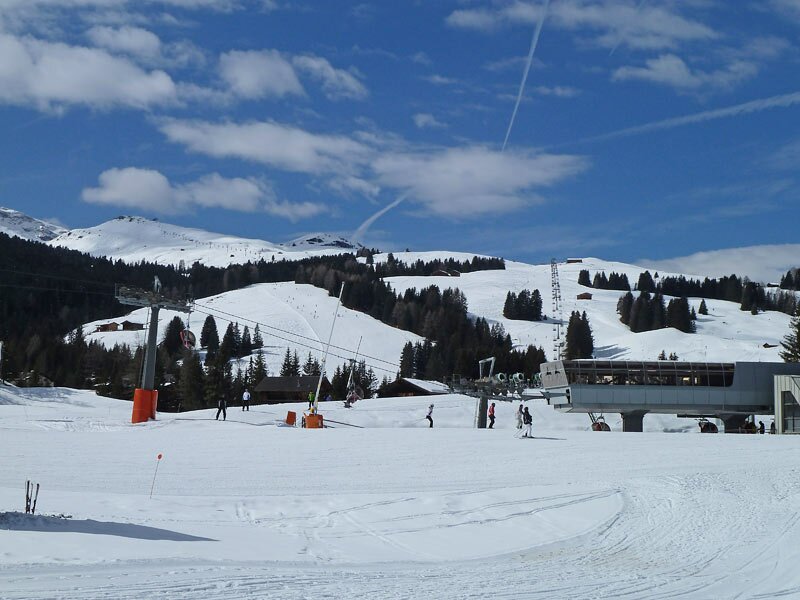
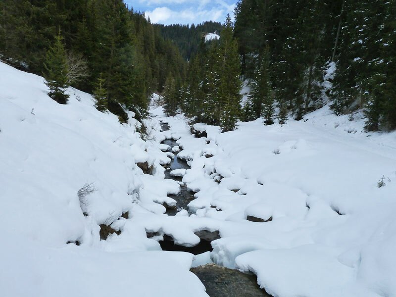
The path now descends to the small hamlet of Saltria, passing the ski slopes. Several restaurants and mountain huts are available for refreshments. Afterwards, it is time for the return journey, which we planned along a different route. Following the Jenderbach stream (path no. 18), we soon leave the tarmac behind and find ourselves on a wide, snow-covered path.
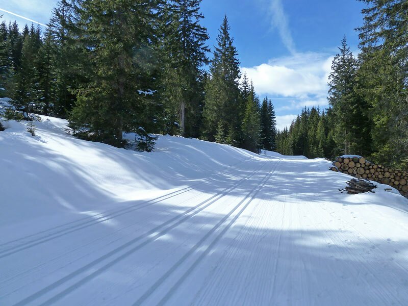
Last week's fresh snow has transformed the valley into a fairy-tale winter landscape, with its frozen stream bed, well-kept coniferous forest, and the tracks of wild animals in the snow. Only birdsong and the wind break the silence. After an initial downhill section, the path begins to climb, at the end of which is the junction for path no. 30A (Monte Pana). By following this path, and later walking along the edge of the cross-country ski trails, we finally arrive back at our starting point.
Author: AT
Experienced: March 2012
Last update: 2025
-
- Starting point:
- Monte Pana, Santa Cristina
-
- Overall time:
- 03:40 h
-
- Total route length:
- 12,2 km
-
- Altitude:
- from 1.622 m to 1.815 m
-
- Altitude difference (uphill | downhill):
- +340 m | -340 m
-
- Signposts:
- 30, 18, 30A
-
- Destination:
- Saltria
-
- Resting points:
- Hotel Saltria, Radauer Schwaige, Saltner Hut
-
- Recommended time of year:
- Jan Feb Mar Apr May Jun Jul Aug Sep Oct Nov Dec
-
- Download GPX track:
- Winter hike from the Monte Pana to Saltria
If you want to undertake this hike, we recommend you to check the weather and trail conditions in advance and on site before setting out.